Holiday Day 6: Fifth Day on the Wangapeka Track.

About to start the steep part of the climb to the saddle
The fifth day was the longest and hardest day of the tramp which involved crossing our second saddle, the Little Wanganui Saddle at 1087 meters with a steep 300 meters climb first up. I was a tad worried about this long day and this big climb, but the climb up to the saddle was actually surprisingly ok.
The first hour was spent going up a gentle climb to an open area where an emergency shelter is located. From here we looked up at the big climb ahead of with concern, but even through it was steep we were up at the saddle by 9.30am and unlike the Wangapeka saddle from several days ago, the view was amazing all the way down to the sea on the West Coast.
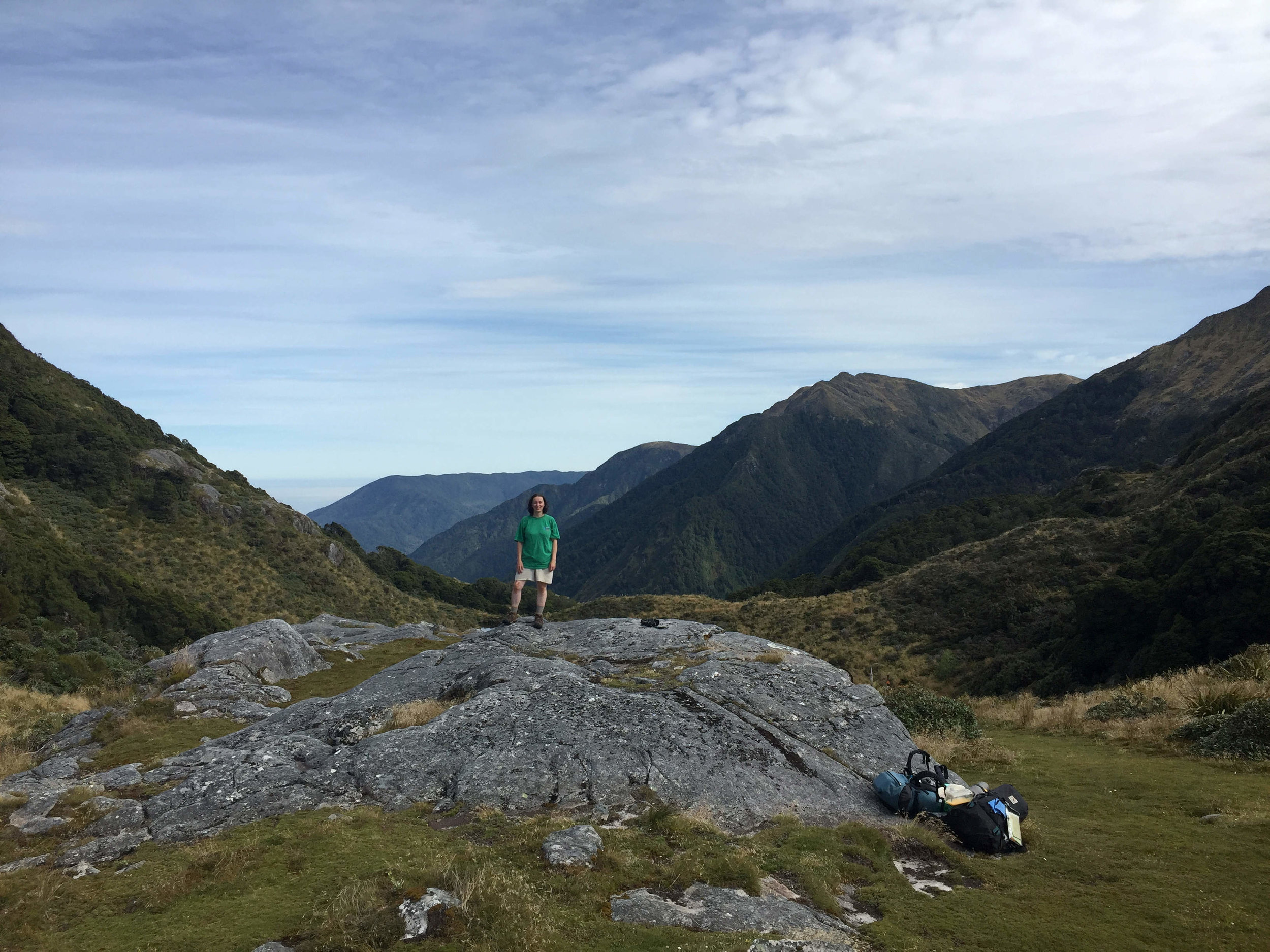
Julianne up at the top of the saddle

Julianne’s phone went off, we were high enough for signal!
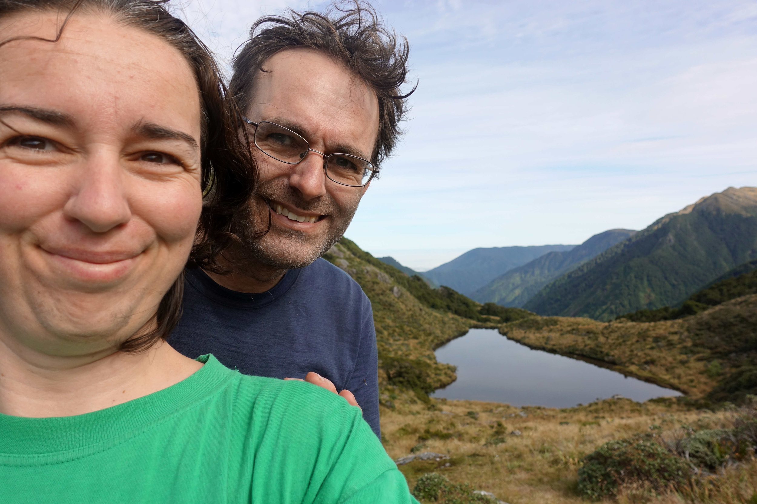
Selfie time!

View down the other side of the saddle
We spent an hour relaxing, taking photos and had a bite to eat before starting the journey down.
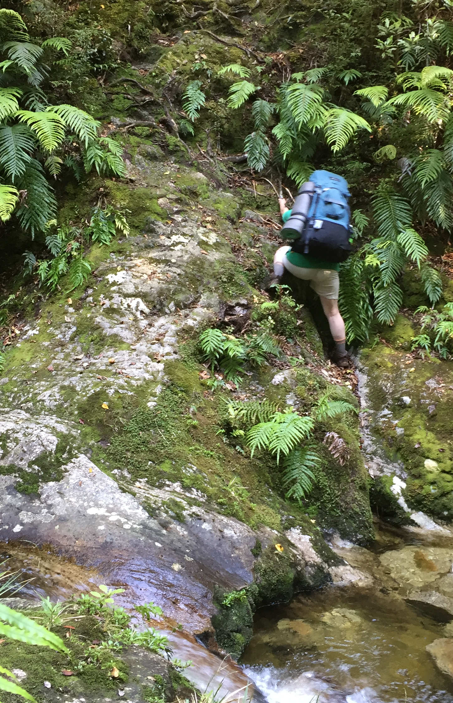
It was a long way down heading down over 600 meters over a distance of 7 and a half kilometers. We spent hours descending down and the track was rough in places with lots of clambering up and over rocks and trees, it was a tiring day.


At one point we decided to cross a river instead of heading up stream to a swing bridge, it was a lot of fun using our river crossing skills which don’t get a lot of use, and the water level was low so there was no risk just some very wet legs and boots.
I always carry a map to know where I am, as I tramp along – it’s very helpful and quite comforting to know what is ahead and how far I need to go. And during this descent I went from one topographical map to another, having crossed from one side of the first ‘Wangapeka’ map. It was nice to think I have covered one whole complete topographical map during this tramp as the beginning of the track was just of the other side of the map.


Julianne climbing down one of many steep rock faces with her pack

I knew looking at the map that there was this large hump which we had to climb up, along and then down the other side which was very tiring and took almost an hour. It was near the end of the day and clambering up when tired after a long day was not easy.
Luckily it is summer and there is plenty of daylight and we can rest often as we like – nice not to be in a hurry.

Resting in the sun.
Then suddenly Julianne had the ground give way below her foot and she fell over; she was tired, in shock with a graze so we rested for a bit and we noticed just below us was a whio (blue duck) playing in the rapids - a great final view of this rare New Zealand bird during this tramp. So we rested and had a snack while watching the whio playing around while Julianne recovered.


Again there were the same 3 people in the hut that night, they were nice and friendly but I really do like a nice and private hut such as the first 3 nights of the tramp.
Tomorrow we walk out after 5 days of tramping.